Region · 7 min read
For decades the three cities grew on their own. Since 2026 the state has been planning them, together with Paradip, as a single economic region. Here is what has actually been approved, what is still on paper, and why a plot on the Puri highway now reads differently.
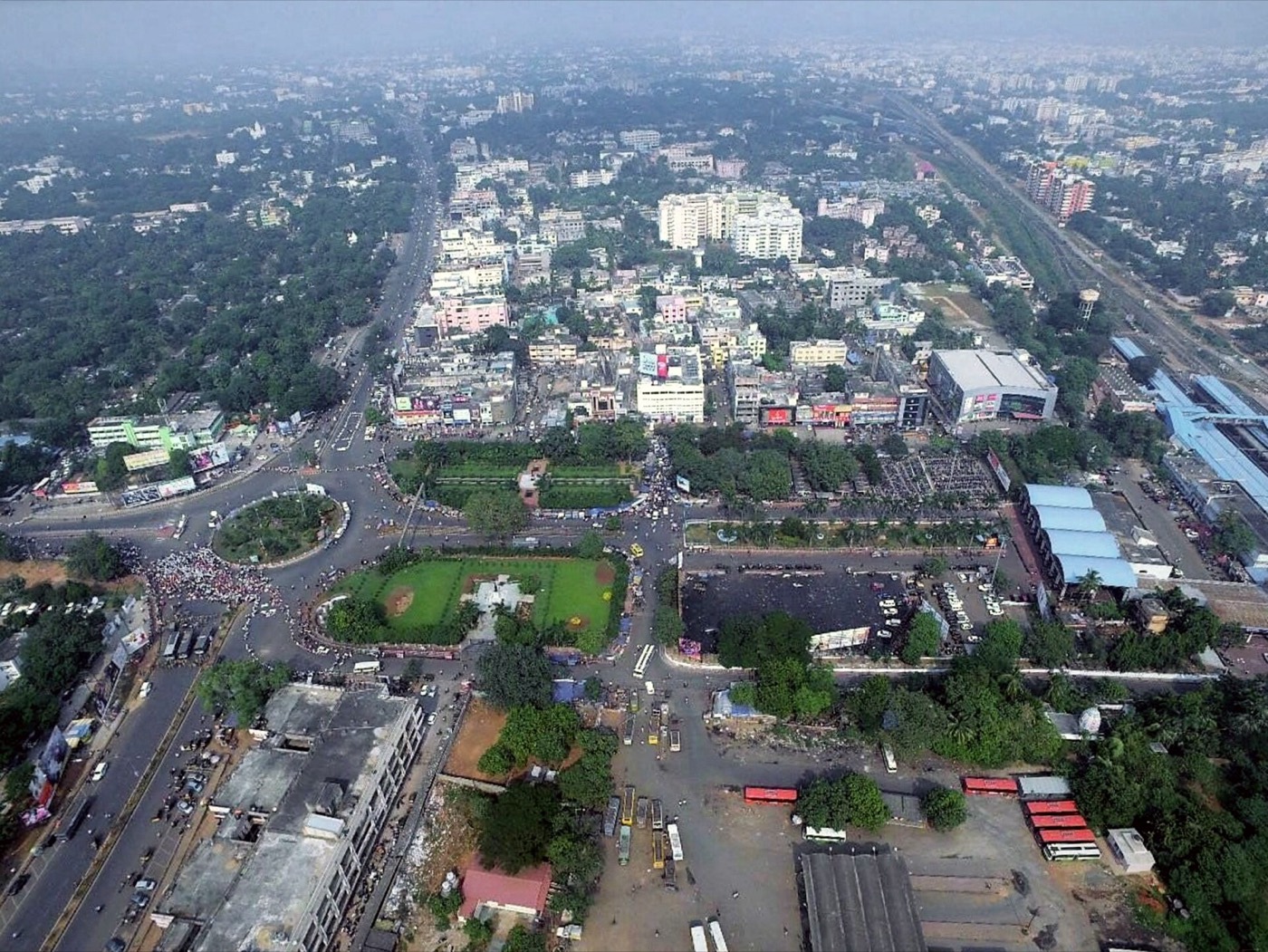
Anyone who has lived in Odisha knows the division of labour. Bhubaneswar is the capital, the campus town and the IT address. Cuttack is the older commercial city, home to the Orissa High Court since 1948 and to the state's trading families. Puri is the temple, the beach and the pilgrim economy.
At the 2011 Census, Bhubaneswar's urban agglomeration held about 8.9 lakh people and Cuttack's about 6.5 lakh, with Puri town at roughly 2 lakh. They are 20 to 60 km apart. What is new is that the state government has started treating them as one place.
The official name is a mouthful: the Bhubaneswar–Cuttack–Puri–Paradip Economic Region, shortened to BCPPER. It covers 19 urban local bodies across Khordha, Cuttack, Puri and Jagatsinghpur districts. Three things have happened in 2026 that move it from idea to programme.
The Chief Secretary has said publicly that the four cities should function as a common economic zone by 2027. That is a stated intention, not a completed project. But it is the first time the planning has been formal, funded and legally scoped.
A region is only as joined-up as its roads. Four projects matter here, and they are at very different stages.
| Project | What it is | Status |
|---|---|---|
| NH-316 widening | The 67 km Bhubaneswar–Puri highway, four-laned in 2017. The Centre approved a proposal for eight lanes in December 2025. A state review in May 2026 discussed six lanes with service roads and an 11 km elevated stretch near Bhubaneswar. | Design stage. No tender or contractor yet. |
| Capital Region Ring Road | A 111 km six-lane access-controlled bypass linking Khordha, Bhubaneswar and Cuttack, approved by the Union Cabinet in August 2025 at about ₹8,300 crore. | Three packages awarded by NHAI in March 2026, roughly 30 months to build. |
| Second Trisulia bridge | A ₹297 crore bridge to relieve the Cuttack–Bhubaneswar crossing over the Kathajodi. | Tendering, as of September 2025. |
| Puri airport | Shree Jagannath International Airport at Sipasarubali, about ₹5,600 crore, 471 hectares, 4.6 million passengers a year in phase one. | Environmental and coastal clearances received in October 2026. Construction has not started. |
One honest footnote. The Bhubaneswar metro, whose foundation stone was laid in January 2024, was terminated in its original form by the cabinet in April 2026. The state says it will be recast as a wider regional mobility plan under BCPPER. Nobody should buy land today on the promise of a metro station.
Pipili is a tahasil town in Puri district. The district's own website puts it 20 km from Bhubaneswar and 40 km from Puri, on the highway that connects them. The toll plaza sits on that stretch at Paat Sahanipur. In a region planned around the Bhubaneswar–Puri axis, Pipili is not the outskirts of either city. It is the point on the line where both are a short drive away.
That is the geography behind our Pipili Highway Plot project at Mouza Kanhupur, near the toll gate. It is a gated layout with the boundary wall built and electrification in place. Phase 2 is open.
Today, with the four-lane highway as it is, a plot at Pipili puts the capital's airport and its southern institutions within a highway drive, and Puri's beach within an hour. If the ring road, the highway widening and the airport arrive on anything like their published schedules, the same plot sits at the centre of a planned economic region rather than on the edge of one city.
Either way, the paperwork comes first. Every Acestate plot is sold with the record of rights, a 30-year encumbrance certificate and the approved layout shared before any money moves. Book a site visit.
Gated layout near the Pipili toll gate on NH-316. Phase 2 open, with the papers shared before you pay.